

From January 16 to 18, 2026, the 5th International Conference on Remote Sensing, Surveying and Mapping (RSSM 2026) was successfully held at the Science City Campus of Chongqing Jiaotong University. The conference was hosted by Chongqing Jiaotong University and organized by its School of Smart City, with supporting co-organization from Southwest Jiaotong University, University of Electronic Science and Technology of China, and Henan University.
2026年1月16日至18日,第五届遥感与测绘国际学术会议(RSSM 2026)在重庆交通大学科学城校区成功举办。本次会议由重庆交通大学主办,重庆交通大学智慧城市学院承办,并得到西南交通大学、电子科技大学及河南大学的协办支持。
The conference brought together more than 100 experts and scholars from around the world in the fields of remote sensing and surveying and mapping. They engaged in in-depth discussions and exchanges on topics such as frontier developments in the discipline, innovation trends, and industrial applications. The conference featured keynote presentations and multiple parallel sessions, during which participants held extensive and in-depth discussions on the latest research progress, key technological breakthroughs, and future directions in remote sensing and surveying and mapping.
大会吸引了百余位来自全球遥感与测绘领域的专家学者齐聚一堂,围绕学科前沿动态、创新趋势及产业应用等议题进行了深入研讨与交流。会议设置了专题报告和多个分会场讨论环节,与会者就遥感与测绘领域的最新研究进展、关键技术突破以及未来发展方向展开了广泛而充分的探讨。

Professor Chen Jian, Dean of the School of Smart City at Chongqing Jiaotong University, delivered the opening address on behalf of the organizers. He extended a warm welcome to the participating experts from China and abroad, and introduced the university’s distinctive research and disciplinary development in the interdisciplinary integration of transportation and remote sensing and surveying and mapping technologies, guided by the university motto, “Uphold Virtue and Reach Far; Transportation Connects the World.” He expressed his hope that the conference would serve as an opportunity to deepen cooperation with experts and scholars worldwide, and jointly promote the development of the remote sensing and surveying and mapping disciplines as well as industry progress.
重庆交通大学智慧城市学院院长陈坚教授代表主办方致开幕辞,对来自国内外的与会专家表示热烈欢迎,并介绍了学校秉承“明德行远、交通天下”的校训,在交通领域与遥感测绘技术交叉融合方面所开展的特色研究和学科积累。他期待以此次会议为契机,与全球专家学者深化合作,共同推动遥感测绘学科发展和行业进步。
Professor Gao Gui of Southwest Jiaotong University, Chair of the conference, delivered remarks on behalf of the organizing committee. He noted that remote sensing and surveying and mapping technologies are increasingly integrating with frontier technologies such as artificial intelligence, and are facing major opportunities for development. He encouraged the experts in attendance to seize emerging trends, strengthen collaboration, and jointly address challenges such as data fusion and intelligent analysis, so as to advance disciplinary development and social progress through technological innovation.
大会主席、西南交通大学高贵教授代表组委会作主席寄语,他指出,遥感与测绘技术正与人工智能等前沿科技深度融合,面临重大发展机遇。他鼓励与会专家把握趋势、加强合作,共同应对数据融合、智能分析等挑战,以技术创新推动学科发展与社会进步。
The conference was chaired by Professor Zhu Kangwen, Section Chief of the Platform Division, Office of Science and Technology, Chongqing Jiaotong University. 重庆交通大学科技处平台科科长朱康文教授主持会议。


✨ Keynote Presentations & 大会特邀报告 ✨
The conference invited four leading experts in the field—Researcher Liu Dechang, Professor Fan Lei, Professor Hu Qingfeng, and Professor Cheng Jian—to deliver keynote presentations.
大会邀请核工业北京地质研究院刘德长研究员(中国科协决策咨询首席专家)、西南大学地理科学学院副院长樊磊教授(国家级青年人才)、华北水利水电大学测绘与地理信息学院院长胡青峰教授、电子科技大学程建教授等四位领域领军专家作大会报告。
 Researcher Dechang Liu, Beijing Research Institute of Uranium Geology, China 刘德长研究员,核工业北京地质研究院 Speech Title:Technical Advantages of Hyperspectral Remote Sensing in Geological Applications and Its Effectiveness in Direct Ore Prospecting |  Prof. Lei Fan, Southwest University, China 樊磊教授,西南大学 Speech Title:Microwave Retrieval and Applications of Vegetation Optical Depth |
 Prof. Qingfeng Hu, North China University of Water Resources and Electric Power, China 胡青峰教授,华北水利水电大学 Speech Title:Research on the Application of Remote Sensing Technology for Safety Monitoring in Multi-Scenario Water Conservancy Projects |  Prof. Jian Cheng, University of Electronic Science and Technology of China, China 程建教授,电子科技大学 Speech Title:Remote Sensing Image Understanding Based on Vision Large Models |
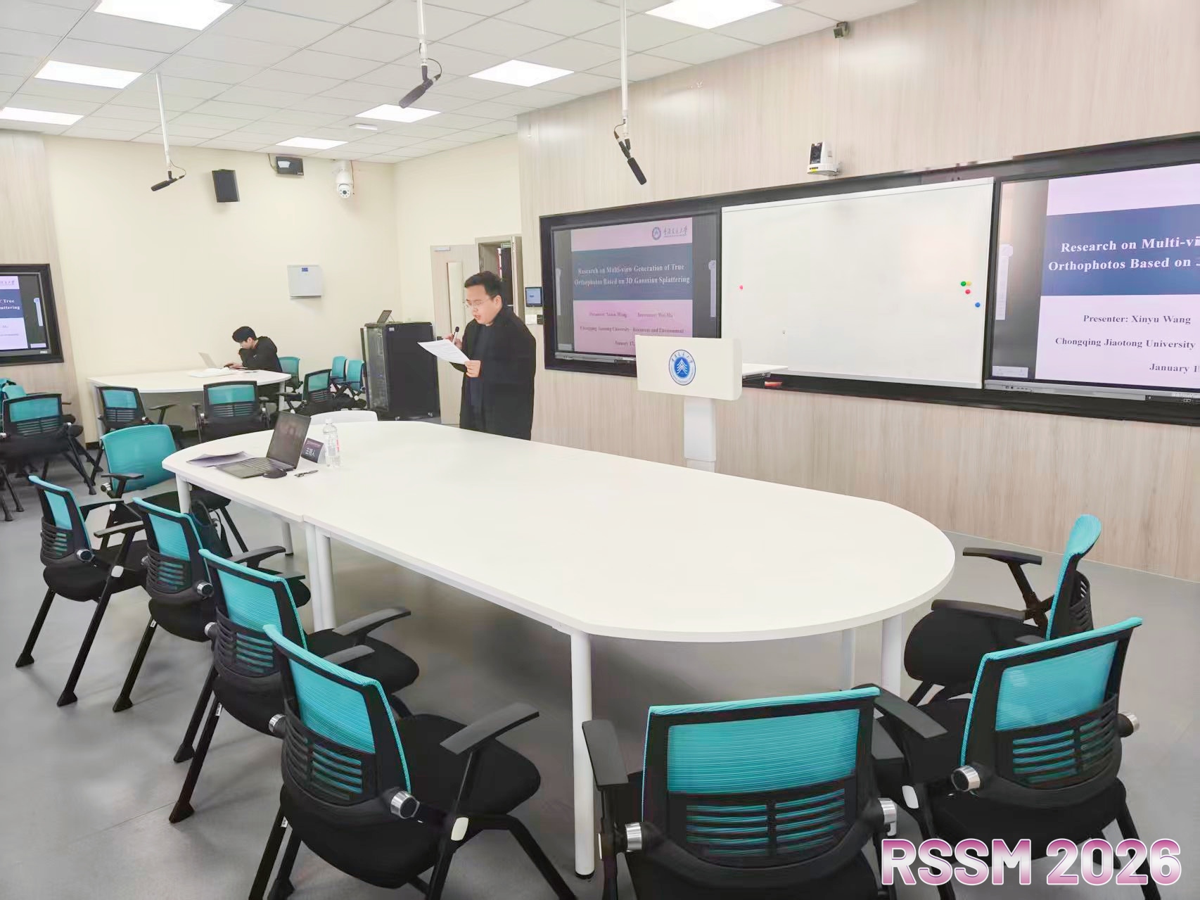
This conference set up four in-person parallel sessions and one online session, accepted 11 posters, and organized 74 oral presentations by young scholars. The topics covered a range of cutting-edge interdisciplinary areas, including ecosystem service assessment, urban blue-green space analysis, forest fire monitoring, intelligent remote sensing interpretation, 3D modeling and reconstruction, smart infrastructure sensing, environmental risk assessment, and ecological compensation mechanisms.
本次会议共设立4个线下分会场,1个线上分会场,收录海报11份,并组织青年学者口头报告74场。内容涵盖生态系统服务评估、城市蓝绿空间分析、森林火灾监测、遥感智能解译、三维建模与重建、基础设施智慧感知、环境风险评估、以及生态补偿机制等多个前沿交叉领域。
At the conclusion of the conference, three Best Paper Awards, three Best Poster Presentation Awards, and three Best Oral Presentation Awards were selected. In addition, eight Best Paper Nomination Awards were presented, fully demonstrating the latest research achievements and innovative vitality in the field.
会议最终评选出最佳论文奖、最佳海报展示奖及最佳口头报告奖各3项,另设最佳论文提名奖8项,充分展现了领域内最新的研究成果与创新活力。


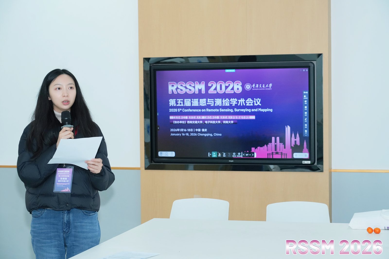
The four in-person parallel sessions were chaired by scholars Zhang Linlin, Lin Na, Ding Youli, and Zhou Lilei from Chongqing Jiaotong University, respectively.
线下分会场分别由重庆交通大学张琳琳、林娜、丁友丽、周李磊等四位学者主持。
张琳琳博士

林娜副教授

丁友丽副教授
周李磊副教授
The successful convening of this conference fully demonstrated the vitality and development potential of the remote sensing and surveying and mapping field as a frontier of modern science and technology. By bringing together global expertise, focusing on key technologies, and promoting collaboration among industry, academia, and research institutions, the conference not only injected new intellectual momentum into the future development of the discipline, but also laid a solid academic foundation for building a more intelligent and sustainable earth observation and application system.
本次会议的成功举办,充分彰显了遥感与测绘领域作为现代科技前沿阵地的蓬勃活力与发展潜力。通过汇聚全球智慧、聚焦关键技术、推动产学协同,大会不仅为学科的未来发展注入了新的思想动能,也为构建更加智能、可持续的地球观测与应用体系奠定了坚实的学术基础。


